
Ferrini + Marks Landscape
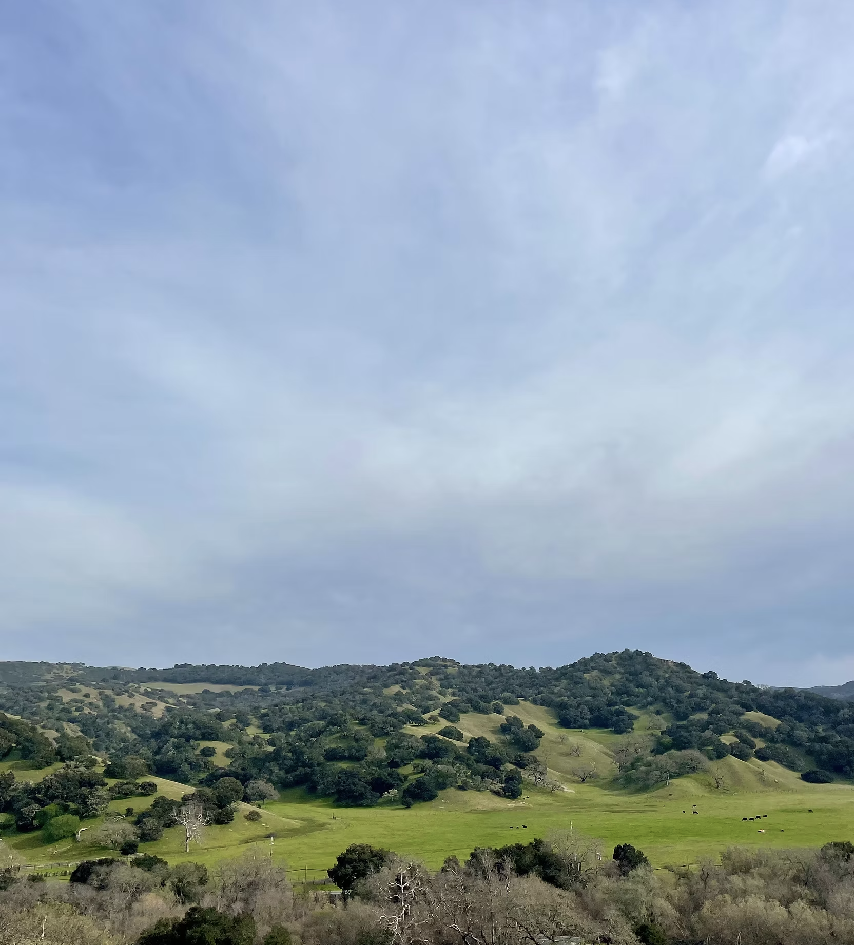
Marks + Ferrini Landscape — active working ranches, ancestral homeland to several Tribes, and the last intact habitat linkage between the coast ranges and the Monterey Bay lowlands.
Ferrini Ranch is an 869-acre working ranch along Highway 68 that serves as one of the Central Coast's most critical wildlife corridors, with several Tribes recognizing it as part of their ancestral homelands. In 2024, Big Sur Land Trust (BSLT) and Trust for Public Land (TPL) secured Ferrini Ranch to prevent its development into a luxury residential subdivision.
Together with the adjacent Marks Ranch, it now sits inside a 20,000-acre network of protected lands — and at the center of a question: What does the future of this landscape look like, and who decides?
Why this land matters
→ Identified by CDFW as a State priority barrier along Highway 68
→ One of the last safe wildlife crossings in the region, identified as key to preventing regional extinctions in Fort Ord.
→ Deep ancestral connection alongside a history of displacement that continues to shape the present
→ Decades of agriculture, grazing, ecological research, community use, and wildlife movement
What we're working toward
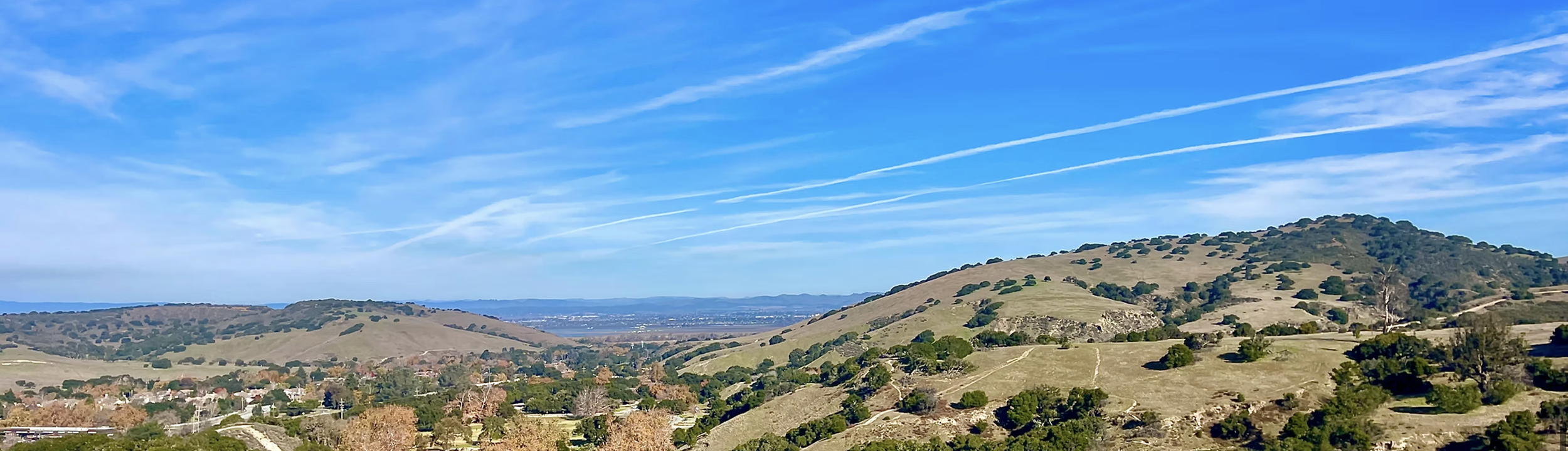
This landscape sits at a critical ecological and cultural crossroads and presents a rare opportunity to protect habitat, support working lands, and create meaningful ways for people to connect with the land.
We are developing a clear set of priorities for how the Ferrini + Marks landscape can advance ecological stewardship, cultural revitalization, and regenerative agriculture in ways that strengthen community connection.